8001000331 admin@vayusakti.com Mon – Sat, 9:30 AM – 6:30 PM
Drone loans now available — apply online in 5 minutes & track your application status. Learn more

Mapping & Surveying

Orthomosaic maps, area measurement, land survey and drainage planning.

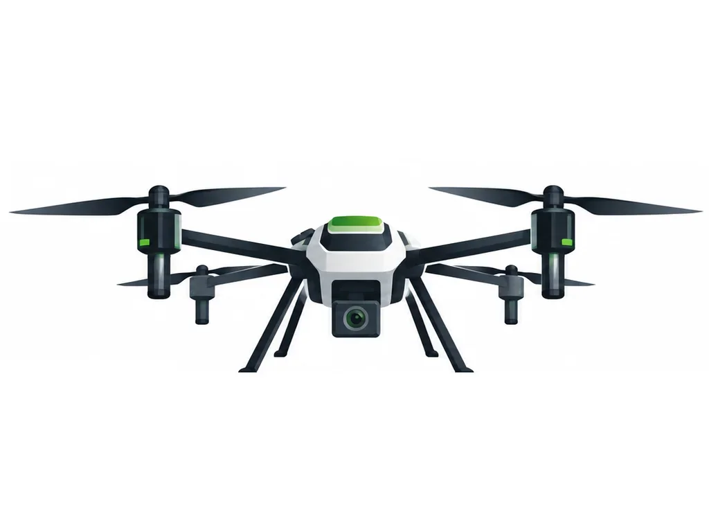
Mapping drones fly an automated grid and capture overlapping photos that software stitches into an accurate orthomosaic map and elevation model. Farmers and surveyors use these maps to measure area, plan drainage and irrigation, count plants and prepare spray plans.

  • Accurate field boundaries and area
  • Elevation models for levelling and drainage
  • Base maps for precision spraying missions
Recommended drones

Vayusakti Mapper M1
Mapping & Survey Drones

Vayusakti Mapper M1

Mapping & crop-health imaging drone

  • Frame typeQuadcopter
  • Sensor / resolutionTBC
  • Flight timeTBC
  • Mapping coverage per flightTBC
₹2,75,000
EMI from ₹5,443/mo*