
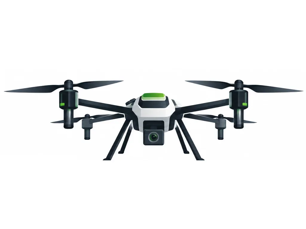
The Mapper M1 captures overlapping aerial photos that mapping software stitches into a single, measurable field map. Use it for area measurement, drainage planning, plant counting and crop-health zoning before spraying.
Note: specification values on this page are placeholders until confirmed from the manufacturer datasheet.
Sample listing: price, stock and specifications are placeholders. Edit in Seller portal or Marketplace Admin.
| SKU | VS-M1 |
|---|---|
| HSN code | 8806 |
| Order quantity | 1 – 10 per order |